


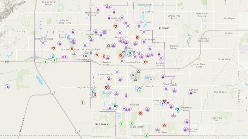
InfoMap is an interactive map that links to information about existing or planned facilities the city believes may be of particular interest to the public. The map shows where various facilities are located, plus information about the facility, along with an address and phone number (where applicable) and web link to obtain additional information if desired.
Legend View
This view lists the various facility types displayed on the map. Each type has a specific symbol. As you zoom into the map, additional layers of information appear, and their corresponding symbol shows up in the legend. Selecting a symbol, such as the Municipal Building symbol, activates a pop-up window with the address, phone number, website and description of the facility.
Layers View
This view lists all the possible layers in the map. You can turn on and off the layers as you choose by checking or unchecking the box to the left of the layer. Some layers will not be viewable until you zoom in to a certain extent. Selecting the three dots to the right of each layer will allow you a different set of options for that layer.
Near Me View
This view allows users to drop a point, line or polygon to find out what facilities are located near that location.
Basemap Gallery View
This view allows users to choose between a topographic map, an Open Street Map, or the most recent aerial map and the Search tool at the top right of the page, helps locate facilities by address.