Map Library

Interactive Maps

Active Construction Projects
Find active construction projects in the City

Traffic-Restrictions-Map.jpg

Traffic Restrictions Map
Find the current traffic restrictions in the City

InfoMap

InfoMap
Find City amenities, facilities, and services near me


Pavement-Cut-Restrictions-Map.jpg

Pavement Cut Restrictions Map
View information on Pavement Cut Restrictions in the City


https://experience.arcgis.com/experience/20c0d73b44b74a45a13ca9b25cea6c81/

Choose Chandler
This platform for businesses to notify residents about specials, services (delivery, takeout, curbside pickup), and if they are hiring.


Interactive-Planning-Map.jpg

Interactive Planning Map 
Search property zoning, zoning cases, and group homes
 

http://changis.maps.arcgis.com/apps/webappviewer/index.html?id=5035275991e644d5b7fe26881abed040

Registered Neighborhoods
Find out if your neighborhood is registered
 

https://storymaps.arcgis.com/stories/401bd02539214594a0a204f6e3cafe9c

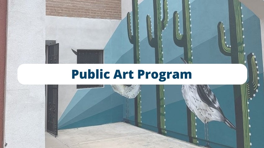
Public Art Program   
See highlights of public artworks in Chandler


https://communitycrimemap.com/?address=Chandler,AZ

*Community Crime Map
View crime activity for a given address
If this is an emergency please dial 9-1-1


https://storymaps.arcgis.com/stories/f8cf870107f2481381ca6a01bdc61a0d

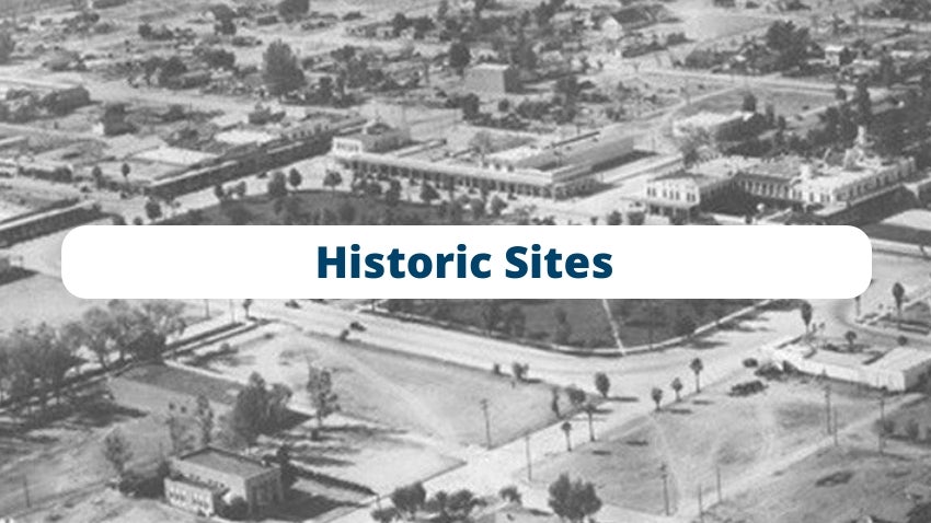
Chandler's Historic Sites
Explore some of Chandler's historic buildings


2022 GIS Project Highlights
Several Major Projects that were completed in the City of Chandler.

Chandler Golf
The best places to golf in the City of Chandler.


City of Chandler Annexations 2000-2022
A time slider window of all the Annexations that the City of Chandler has incorporated over the last 20 years.

Tumblewwd-Park-Playtopia-Pic.jpg

Parks & Open Space

This map from the 2016 Chandler General Plan, shows Chandler's open space including parks, recreation facilities, canals, and golf courses. Private parks and retention areas such as those owned by Home Owner Associations are not represented on the map.


Chandler-High-School-Pic.jpg

Public Schools

This Map from the 2016 Chandler General Plan, shows Community College, High School, Junior High and Elementary School locations as well as school district boundaries throughout the City of Chandler.

Chandler-City-Hall-Pic.jpg

Public Buildings & Facilities

This Map from the 2016 Chandler General Plan, shows Police Stations, Fire Stations, and Libraries as well as other Public Buildings and Facilities.

Chandler-Land-Use-Pic.jpg

Future Land Use

The Future Land Use Map was adopted by the City Council as part of the 2016 Chandler General Plan and establishes future land use development patterns with broad land use categories.

Chandler-Zip-Codes-Pic.jpg

Zip Codes

This Map shows the different Zip Codes throughout the city and surrounding areas.

Chandler-City-Limits-Pic.jpg

City Limits

Illustrates the municipal boundaries and Maricopa county islands located within Chandler's planning area.

Building Inspection Zones

This map shows the ten different Inspection Zones, who the Inspectors are and who their Supervisors are throughout the City. For further information on Building Inspections, please see contact numbers listed on this map.

Development Inspection Zones

This map shows the five different Development Inspection Zones and the Inspectors responsible for each area. For further information on Development Inspections, please see contact numbers listed on this map.

Chandler Airpark Area Plan.jpg

Airpark Area Plan

This Map is part of the Chandler Airpark Area Plan adopted by Chandler City Council in 1998. Land use definitions are provided on pages 2-10 – 2-16 of the Chandler Airpark Area Plan

South Arizona Avenue Corridor Area Plan

South Arizona Avenue Corridor Area Plan

This Map shows the future land uses envisioned for downtown Chandler including high-density residential with mixed-uses. Detailed land use descriptions are provided on pages 33 – 34 of the South Arizona Avenue Corridor Area Plan.

Southeast-Chandler-Area-Plan-Pic.jpg


Southeast Chandler Area Plan

This Map portrays the community’s vision for South East Chandler bounded by Ocotillo Road on the north, Arizona Avenue on the west, and the City’s municipal boundaries on the east and south. Detailed land use descriptions are provided on pages 1-9 – 1-11 of the Southeast Chandler Area Plan


Chandler-Traffic-Patterns-MapPic.jpg


Chandler Municipal Airport Traffic Patterns

This Map displays the General Flight Track, FAA Traffic Pattern Airspace & Aircraft Altitudes. 

DISCLAIMER

The City of Chandler makes no warranties, written or implied, concerning the accuracy or reliability of the Maps. These maps are for informational purposes only and assessing the reliability and accuracy of the information is the sole responsibility of the user.
*Although the Chandler Police Department (CPD) provides raw data to Community Crime Map, CPD does not control how it is interpreted in the analytical section of the website. The charts and graphs depicted on the site are created and maintained by LexisNexis. Should you have any questions please call 480-782-4082.