
The Chandler Fire Department (CFD) maintains 11 fire stations, which are strategically located across the city. Although traffic issues may affect travel times, each station is meant to accommodate a four-minute travel time to emergencies within a two-mile radius.
CFD also maintains a Fire Administration headquarters, a Support Services facility, and a Regional Fire Training Center, which has been expanded into the Public Safety Training Center.
Fire Stations
- Station 1: 1491 E. Pecos Rd.
- Station 2: 1911 N. Alma School Rd.
- Station 3: 275 S. Ellis Rd.
- Station 4: 295 N. Kyrene Rd.
- Station 5: 1775 W. Queen Creek Rd.
- Station 6: 911 N. Jackson Rd.
- Station 7: 6200 S. Gilbert Rd.
- Station 8: 711 W. Frye Rd.
- Station 9: 211 N. Desert Breeze Blvd.
- Station 10: 5211 S. McQueen Rd.
- Station 11: 4200 S. Gilbert Rd.
Fire Facilities
- Administrative Headquarters: 151 E. Boston St.
- Support Services: 163 S. Price Rd.
- Public Safety Training Center: 3550 S. Dobson Rd.

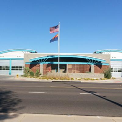
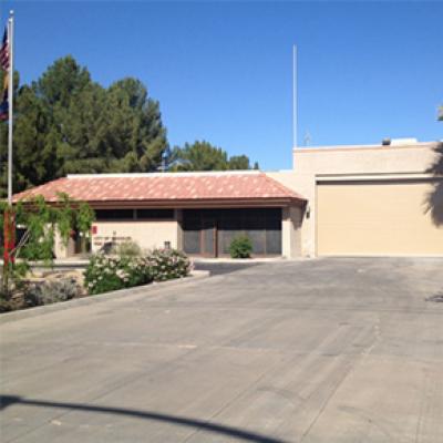
Fire Station No. 3
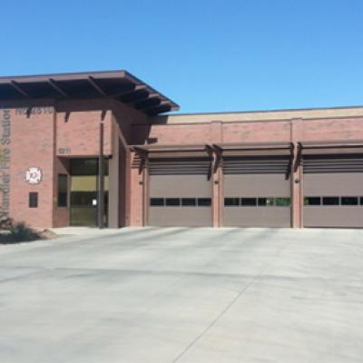
Fire Station No. 4
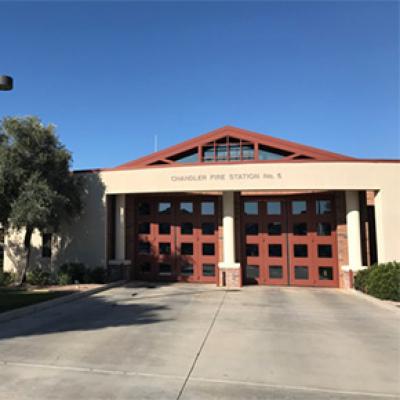
Fire Station No. 5
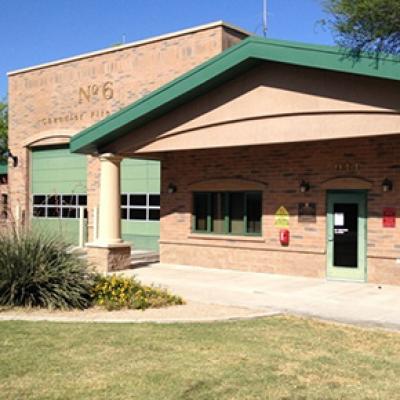
Fire Station No. 6
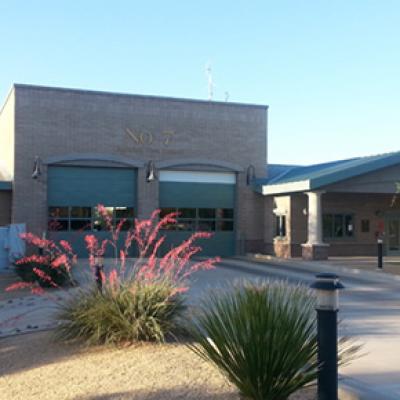
Fire Station No. 7
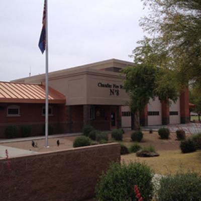
Fire Station No. 8
Fire Station No. 9
Fire Station No. 10
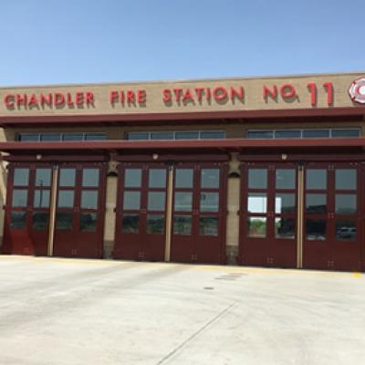
Fire Station No. 11

Station Tours
Chandler Fire Department welcomes tour groups. Station tours last approximately 30 minutes and include viewing the fire engine, firefighter equipment, fire gear, emergency medical equipment, living quarters, and a short presentation concerning fire safety.

Observer Program
The CFD Observer Program provides residents with a better understanding of our job. An effective ride-along program can serve to community relations, as well as encourage individuals pursuing a fire career or interest in what we do.